FieldWorks sits at the intersection of digital methods and prehistoric landscape — mapping, terrain modelling, and the archaeology of the South Downs and beyond.
What you’ll find here: LiDAR analyses, site essays, 3D visualisations, and occasional thoughts on what it means to look carefully at ground that has been meaningful to people for thousands of years.
Articles
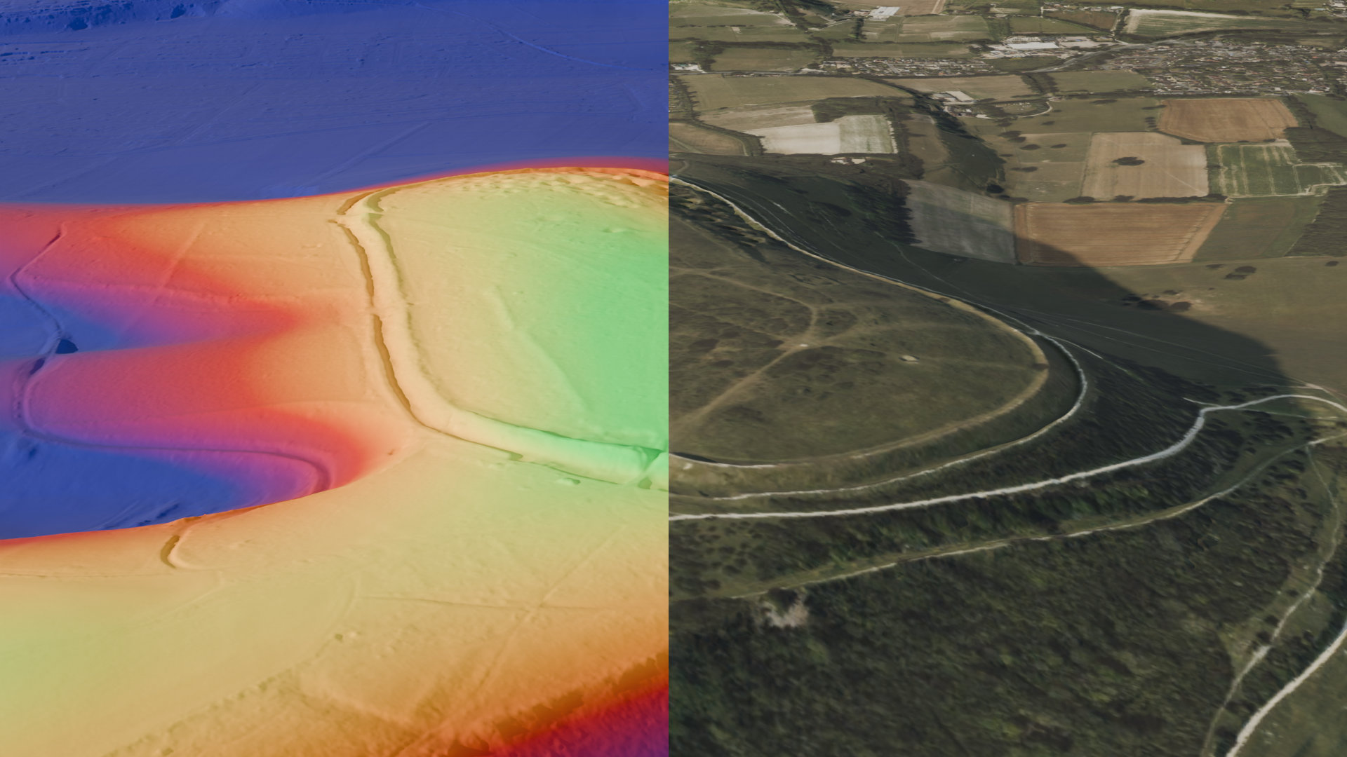
Forts and Edges: the Iron Age hillforts of the South Downs
Five hillforts on the chalk ridge above the coastal plain — Cissbury Ring, Mount Caburn, Wolstonbury Hill, Chanctonbury Ring, Devil’s Dyke. What they are, what they might have meant, and why they still pull people up the hill.